 (Sunrise from Iron Mountain, Norbeck Wilderness Area, SD)
Whew. Just sifting through the myriad storm reports and upgraded tornado reports from North Carolina, especially sites investigated by the KGSP National Weather Service office around the greater Charlotte market...with storms moving laterally at 40-50mph, and with radar sweeps taking minutes to complete, the storms were racing, pulsing, bubbling faster than could be humanly monitored. But is that the best technology our National Weather Service has at their disposal?
Far from it. "Phased Array" radar could quicken that 6 minute scan down to 1 minute. Click the link to read more on this technology, currently available, being tested by NSSL (National Severe Storms Laboratory)...so why are we not upgrading the NWS fleet of radars to this life-saving technology? Ask your Senator. Ask your Congressman or Congresswoman. Ask your President. Ask a lot, and ask often.
If you want to read a sad tale, look at what Congress has done to the National Weather Service budget while asking for more and more to be done and upgraded: they've cut it for many years running. Given all that our government wastes money on, it's a travesty. I just wonder how many more lives need to be lost before the U.S. government sees the value in keeping our citizens most effectively alerted to potentially deadly weather. How long and how much will it take...
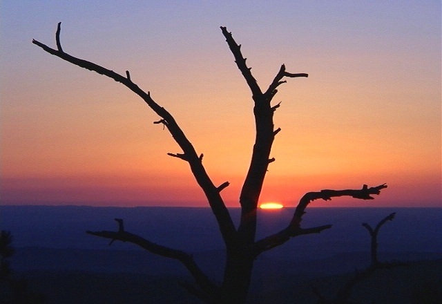
 (another Iron Mountain sunrise shot to calm me down...)
While it's on my radar screen, literally and figuratively, there is another excellent development in radar technology with "Dual-Polarimetric" radar, which can make significant advancements in radar analysis of precipitation type and amounts, especially important for winter weather concerns and hail-core storms. In case you were wondering...yep, readily available for installation. And you can imagine where I stand on that issue...
-------------------------------------------------------------
Quiet, calm, sunny, cool...4 good word choices for the next week. A few nuances, I'll agree...like an infusing cold shot behind a 'dry' front coming through overnight Saturday, which may bring more clouds for Monday's chill in the upper 40s...but next week's forecast is looking user-friendly for Triad travel concerns as we approach the busy Thanksgiving holiday with temperatures moderating up through the 50s.
No fowl weather is expected...
2 comments:
You have some really nice pictures on your blog!
Thanks, John...plenty more of my photographs through past blog posts, or click on my "what's available" link on the right where you'll find an extra folder of some photo galleries I rotate in and out periodically.
Post a Comment